The CERA Interpretive Trail is a .6-mile self-guided tour that winds through the larger portion of CERA.
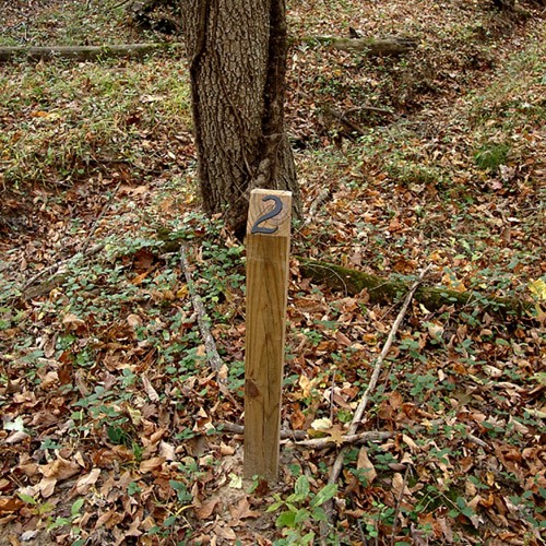
Along the trail you can learn about the ecology and natural history of the area. You will be guided by thirteen numbered wooden posts that are placed along the trail.
Trail posts are each assigned a number; there are thirteen trail posts in all. These numbers can be used with the CERA Trail Guide to learn more about the area.
Interpretive Trail Map

Interpretive Trail Points
During Spring 2025 the CERA Committee is working with Facilities Grounds staff to reinstall missing posts along the Interpretive Trail; stay tuned for new posts being installed at all thirteen sites!