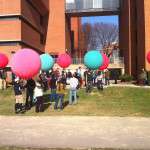
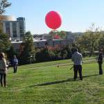
 The balloons floating around the UMBC Campus the other day were associated with an introductory course (GES 286) in the Department of Geography and Environmental Systems (GES). Students in the course were out flying the balloons with digital cameras attached in an attempt to learn how remote sensing assists with data collection. The balloons were flown at an altitude of approximately 400 ft and the cameras were set to take pictures every 10 seconds in both the full color and the near Infrared portions of the electromagnetic spectrum. By combining specific parts of the images together students are able to determine whether vegetation is healthy or under stress. This method of data collection and mapping is being used around the country by a variety of people associated with Public Labs (http://publiclab.org/) (https://twitter.com/publiclab).
The original idea for this lab came from PhD candidate Jonathan Dandois, who works in Dr. Erle Ellis’ lab in the GES Department. The Ecosynth project, at the center of Jonathan’s dissertation, focuses on the use of small and light-weight, hobbyist-grade automated multi-rotor copters to collect aerial photos to study forest canopy structure.
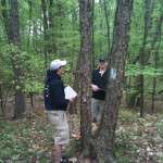
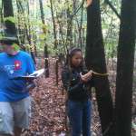
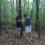
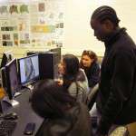
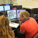
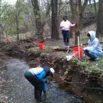
 The Department of Geography and Environmental Systems offers GES 286 during the Summer Sessions (summer session 1 for the summer of 2014) and each Fall and Spring semester, it meets the university requirement for a lab science, and includes a number of other labs (pictures from some of those labs are below) that allow students to explore the environment around UMBC. Students use state of the art GIS software in the department’s Geospatial Lab to help with analysis and display of the data they collect. The course is open to all UMBC students.
Remote Sensing with Balloons


Slope and Stream
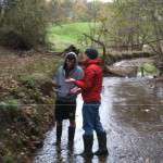

Tree Transects